Cyclops
Software-only visual positioning for GPS-denied flight
Cyclops gives fixed-wing UAVs a reliable source of position using a single camera, commodity compute, and reference terrain maps. Built for ArduPilot platforms operating in contested environments.
Simple by design
Single camera. Commodity compute. No precision calibration. Cyclops is built to solve GPS-denied positioning without exotic hardware or fragile dependencies.

02
Robust map matching
Cyclops compares live camera imagery against pre-generated terrain maps to produce global position estimates across changing terrain, seasonality, and day/night conditions. It works with EO and LWIR sensors.

03
Native flight-controller integration
Cyclops outputs position to ArduPilot over MAVLink, using a standard sensor stack and straightforward integration path for fixed-wing UAVs.


Key features

Reliable positioning
Demonstrated sub-50 m performance in GPS-denied flight

Day and night
EO and thermal support for uninterrupted operations

Fast integration
Evaluation and integration toolkit for rapid onboarding

Commodity hardware
NDAA-compliant, commercial off-the-shelf compute and cameras


Proven in the field
Frontline Operation
A 30 km summer VTOL mission in Ukraine using an EO camera.
\ Raspberry Pi 5, EO camera
\ 30 km mission, 50 - 500 m AGL
\ Entirely GPS-denied operation
\ Aircraft performs mission and RTL autonomously
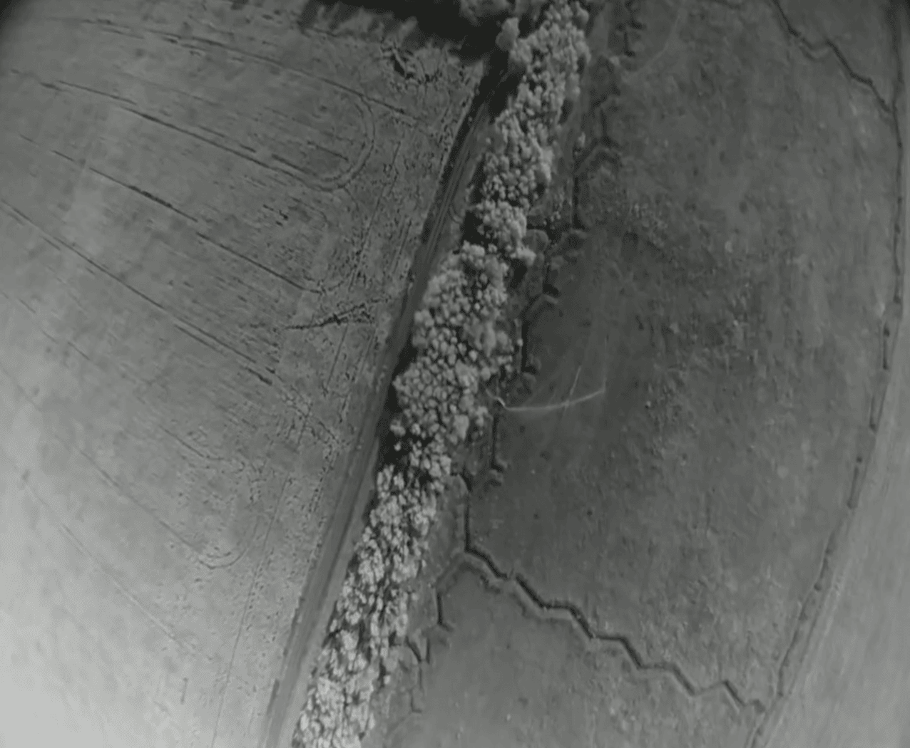
Night Mountains
Mountainous terrain. No GPS. Cyclops delivered high-confidence position estimates every 500m throughout the entire mission using thermal imagery.
\ Raspberry Pi 5, FLIR Boson 640
\ 80 km mission, 120 m AGL

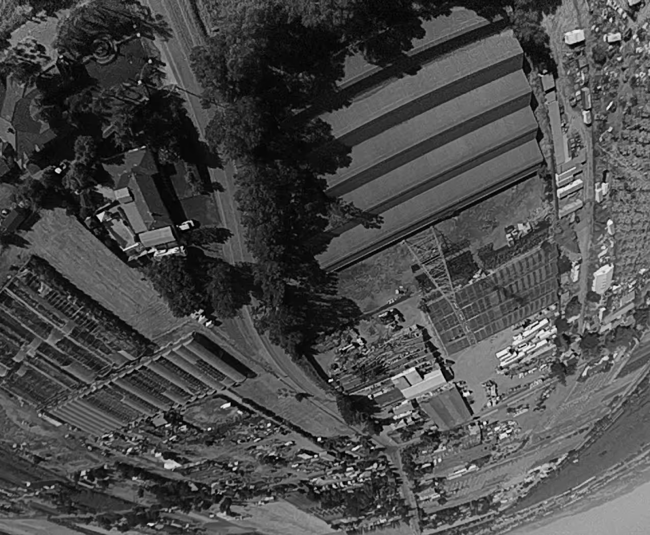
Urban Terrain
An EO mission on a fixed-wing gas aircraft flying over urban terrain. Demonstrates reliable visual positioning over dense, structured environments on a simple fixed-wing platform.
Winter Forest
An EO VTOL mission over forested terrain in Poland during winter. Cyclops is resilient to seasonal changes and visual variation in the landscape.
